The plan for the 2024 Southeast Conservation Blueprint
Last year, the focus was on expanding the Blueprint to the U.S. Caribbean and finishing coverage of the U.S. Atlantic and Gulf ocean. This year, we’re working on two big things:
-
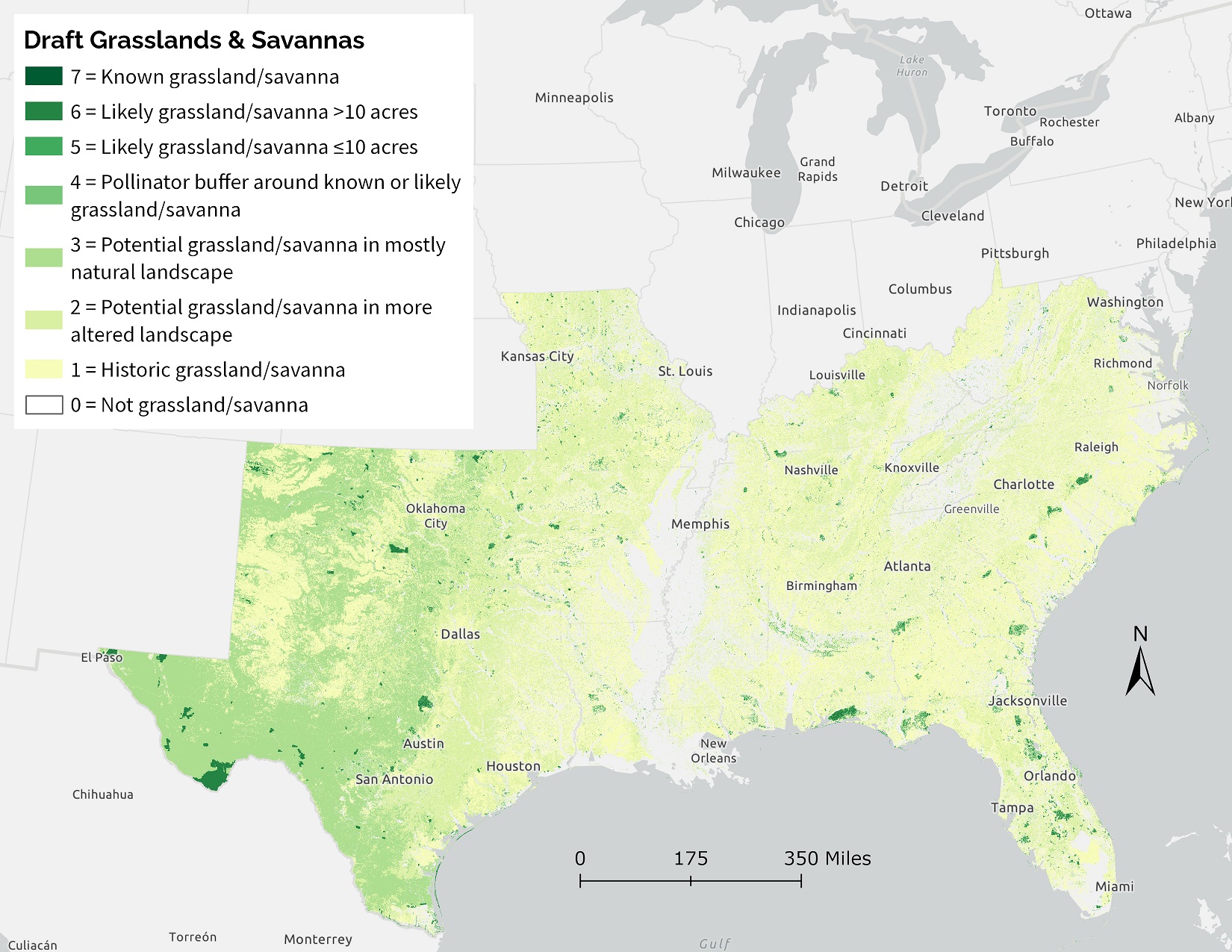
Going a little deeper on a set of indicator improvements: We’re working on a number of exciting indicator improvements–some of which will likely make it into this year’s Blueprint, while others won’t be ready until the 2025 Blueprint. You probably saw the opportunity to review drafts for some of these indicators. Overall, we’re focusing on climate-resilient indicator improvements that can cover the full continental Southeast.
-
Improving prioritization methods with a new version of Zonation: There’s a new version of the software we use for the Blueprint priorities. It includes a number of changes, including the ability to look across much larger areas than we could before. In previous versions of the Blueprint, we could only run the priorities within smaller subregions and then would stitch them together to cover the full Southeast. We’re looking at some potential improvements we can make now that we can run it over larger areas. We’re holding some focus groups with the SECAS Points of Contact and a handful of Blueprint users from various geographies to help us fine-tune the right balance of priorities with these new methods.